Welcome to EOcrops’s documentation!#
EOCrops gives you an easy way to access products at the field-level from different providers to download satellite images (Sentinel 1 and Sentinel 2) and agroclimatic data.
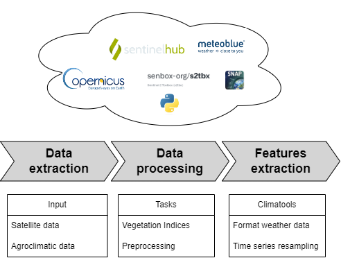
EOCrops has the following primary features:
Download Earth Observation data from SentinelHub SentinelHub API
Download VHRS data from VHRS data
Download weather data from Meteoblue
Advanced features for vegetation monitoring (vegetation indices, biophysical parameters, spatiotemporal features, …)
End-user features (thermal time, feature engineering, …)
Example#
Register a SentinelHub account to one or more providers and copy/paste your API keys, and then downloading Sentinel 2 Level-2A products is as simple as:
import geopandas as gpd
from eocrops.input import utils_sh as utils_sh
from eocrops.input import sentinel2 as sentinel2

api = ""
client_id = ""
client_secret = ""
config = utils_sh.config_sentinelhub_cred(api, client_id, client_secret)
# Provide here your planet API key if you have it
config.planet_key = ""

# Field boundaries
shapefile = gpd.read_file('your_path_shp')

#Meta info
time_period = ("2020-02-15", "2020-08-15")
kwargs = dict(polygon=shapefile_input, time_stamp=time_period, config=config)

# Get your EOPatch for Sentinel-2 !
patch = sentinel2.workflow_instructions_S2L2A(
    **kwargs,
    path_out=None,  # you can specify here a path to save the EOPatch object
    coverage_predicate=0.5,
    interpolation={"interpolate": True}
)
Module content#
Description:
Tutorials: